Amplifying AfricanGeo-Tech Stories
From Nairobi to Lagos, Cape Town to Accra — Geohabari is the pan-African platform for geospatial innovation, tech stories, and the brilliant minds mapping the continent's future.





Conversations that
cut across the board
Curated themes that resonate with our audience and reflect the diverse facets of the tech industry across Africa.

TECH
Geo-enabling technologies shaping how we interact with our world. From drones to digital twins.

STUDY ABROAD
Scholarship tips, application guides, and stories from Africans studying geospatial science worldwide.

BANTER
Light-hearted conversations about tech culture, memes, and the everyday life of geo-professionals.

CAREER
Navigate diverse career paths in the geospatial industry — pivotal moments, key learnings, and challenges.

EARTH
Earth observation use cases across Africa — from flood mapping to deforestation monitoring.

ACADEMIA
Research breakthroughs, thesis tips, and conversations with professors and PhD students.

ACTION
GIS solutions solving real problems — disaster response, urban planning, health mapping, and more.
New episodes
every other week
Dive into our latest conversation and catch a glimpse of what we're all about.

LATEST EPISODE #S3E01
The Space Economy Playbook: Africa's Satellite Revolution
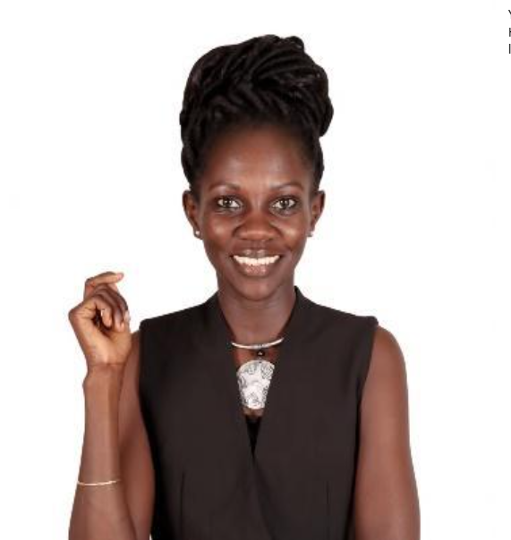
Yariwo Kitiyo
Host
Drones Over the Savanna: Mapping Wildlife Corridors
Releasing on: 28-10-2026
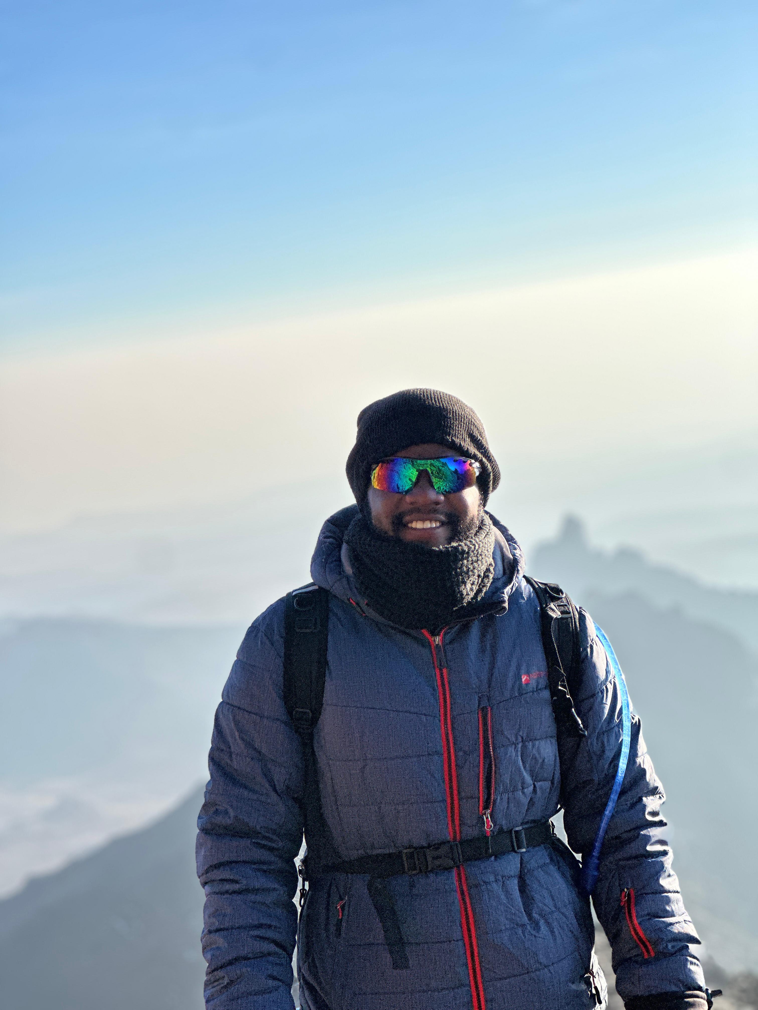
JohnMark Ochieng
Guest
Recent Episodes
Dive into our latest conversations with industry leaders, innovators, and creative minds.
The Space Economy Playbook: Africa's Satellite Revolution
44 minMapping Nairobi's Hidden Infrastructure with Open Data
33 minFrom Campus to Career: GIS Scholarships That Changed Lives
37 minAI Meets Earth Observation: Predicting Crop Yields in East Africa
41 minBanter Episode: Tech Fails, Map Fails, and Everything In Between
30 minWatch us in action
We're bringing our conversations to life on video. Subscribe to our YouTube channel for exclusive content, behind-the-scenes footage, and visual storytelling.


From our conversations


